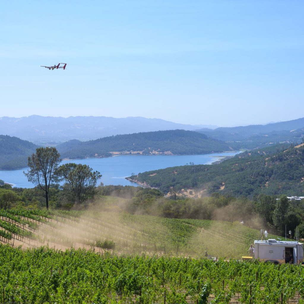
Overwatch Aero teamed up with our partners at FlameMapper to complete a multi-sensor survey mission of a number of Napa Valley vineyards as a part of private fire mitigation strategy.
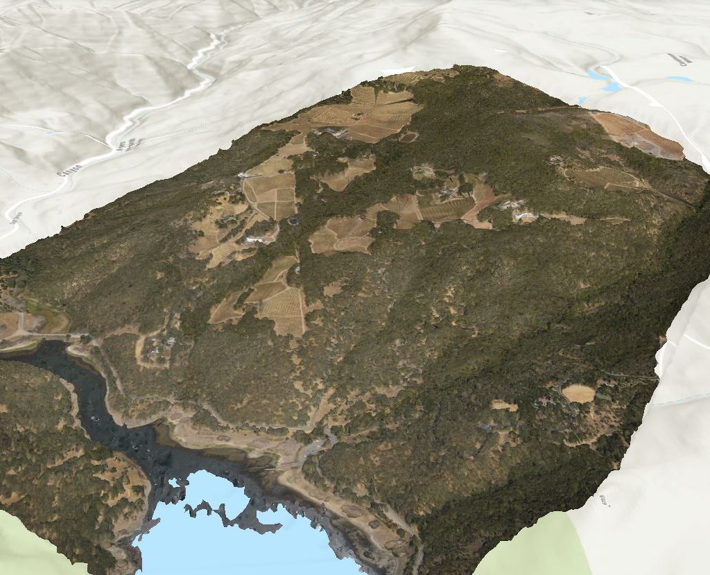
We flew a stop-stare camera and a nadir-looking high definition camera to generate centimeter-resolution imagery. From there, the imagery was processed into orthomosaics, digital surface models and digital elevation models. This was then fed into FlameMapper’s model in order to provide the most effective mitigation strategies and locations.