Airborne Operations
Overwatch Aero delivers mission-critical airborne intelligence—delivered in real time—using the best-fit mix of unmanned and manned aircraft. We don’t just “fly sorties”; we provide end-to-end intelligence, surveillance and reconnaissance (ISR) delivery with a single accountable team responsible for collection, comms, and dissemination.
What we do
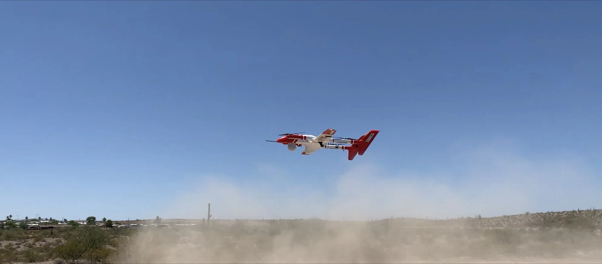
UAS ISR operations supporting:
Emergency response (wildfires, flooding, disaster management)
Public safety / law enforcement
Defense and security missions
Scientific and environmental missions
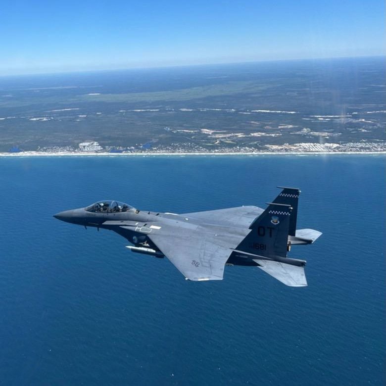
Manned ISR operations for:
Wildfire mapping and intelligence
Public safety and law enforcement monitoring and enforcement
Mission Systems
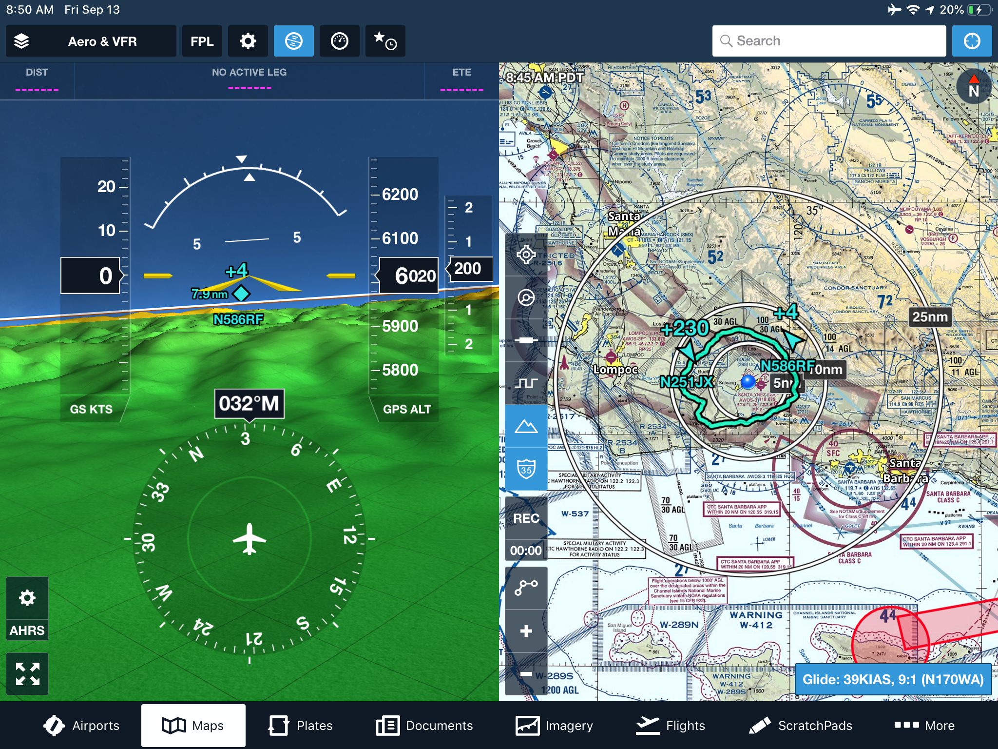
Overwatch Aero builds and integrates SATCOM-native mission systems that turn high-bandwidth connectivity into an operational advantage—enabling remote, secure, data-link-agnostic ISR where sensors and mission equipment can be operated without people physically onboard.
What we do
End-to-end integration of mission systems across proliferated low Earth orbit (PLEO) satellite constellations through experience and partner ecosystem.
Architecture and integration that makes “SATCOM” more than internet:
Payload data transport
Remote mission management and sensor control
Real-time dissemination to distributed stakeholders
-
Onboard connectivity for the crew and mission team—providing a reliable local network/Wi-Fi environment and basic internet access to support day-to-day operations.
-
Adds a secure point-to-point link from the aircraft to a designated ground endpoint—enabling reliable transport of mission data and communications beyond local connectivity.
-
Adds secure point-to-everywhere distribution—routing mission data and products in near real time to multiple authorized users, agencies, and systems across the internet (datalink agnostic).
Engineering
Engineering is a standalone capability and the foundation that enables Operations and Mission Systems. We integrate and sustain platforms and payloads to ensure deployments are reliable, repeatable, and scalable.
What we do
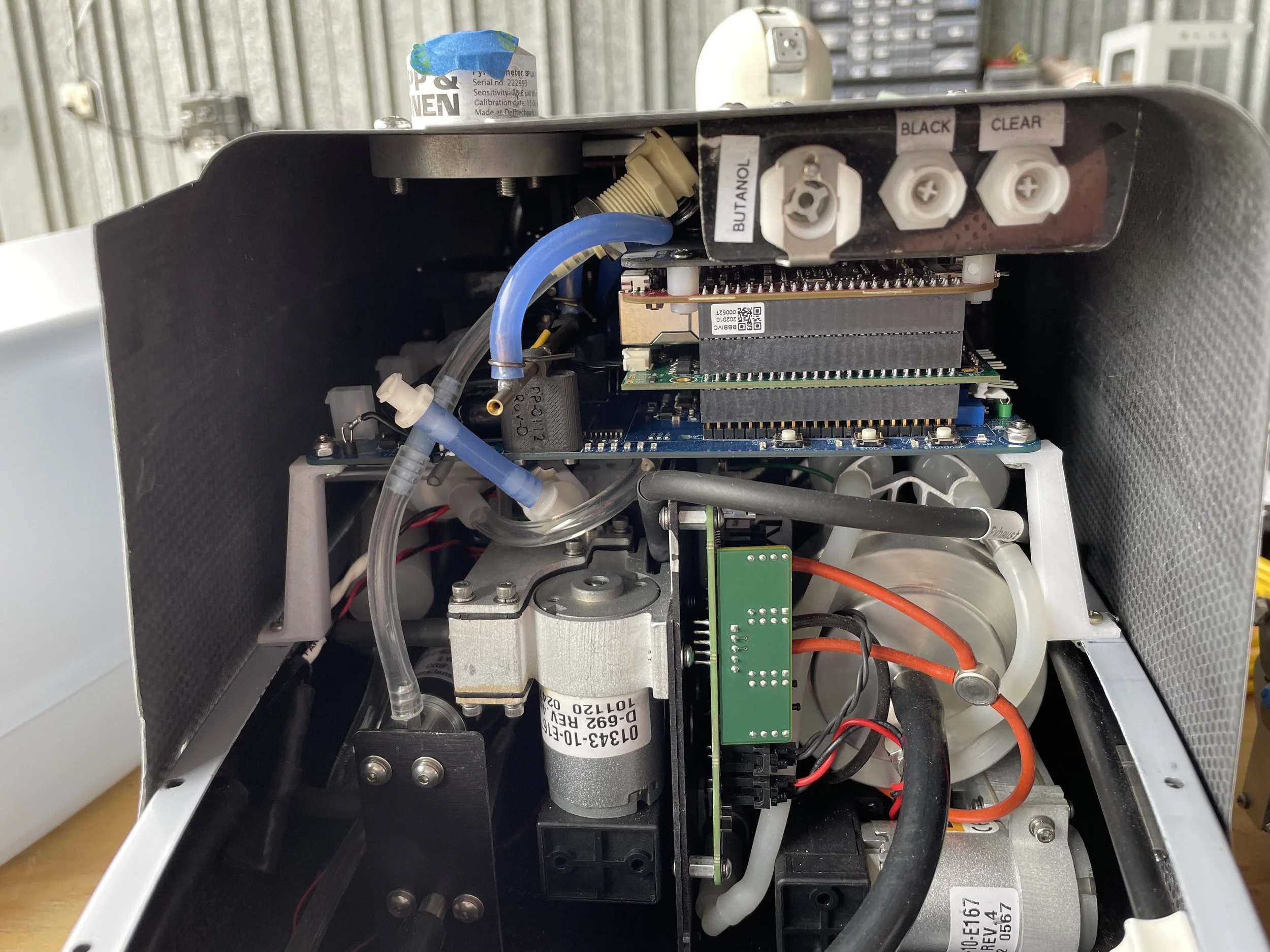
Payload integration and customization for UAS mission requirements (mechanical, electrical, software, and mission workflow integration).
Maintenance & Repair Operations (MRO) for Group 2, 3, and 4 UAS, supporting readiness, reliability, and sustained operations.
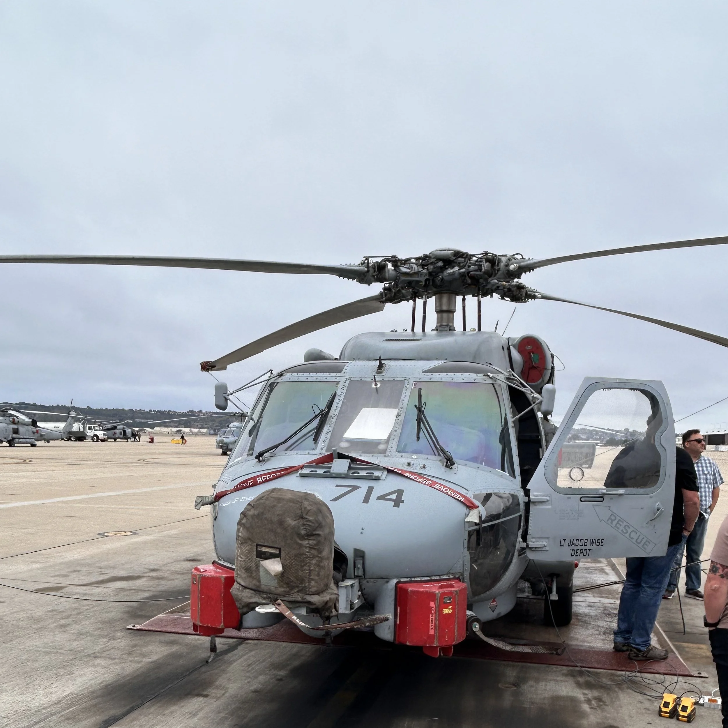
Flight test and evaluation for manned and unmanned platforms:
Systems verification and validation
Payload performance testing
Operational readiness test support

